Sell books & media
Buy books & more
Watchlist
Sign in
All categories
All
x
Category
show all
Books
Travel & Adventure
Atlases, maps & plans
By country & region
Europe
Germany
(5333)
Austria
(755)
Italy
(679)
Alps
(676)
Switzerland
(549)
France
(300)
Spain
(275)
Eastern Europe
(136)
Scandinavia
(126)
Europe-wide
(90)
Portugal with Madeira
(90)
Croatia
(61)
Denmark
(61)
Ireland
(55)
Netherlands
(54)
Greece
(48)
Slovenia
(42)
Luxembourg
(41)
North Sea East Sea
(39)
Great Britain & Northern Ireland
(39)
Belgium
(25)
Iceland
(12)
Türkiye
(11)
Bulgaria & Romania
(10)
Hungary
(10)
Bosnia
(9)
Malta with Gozo
(9)
Cyprus
(8)
Yugoslavia
(1)
From
unknown
(3099)
Freytag-Berndt und Artaria KG
(279)
KOMPASS-Karten GmbH
(250)
Publicpress
(217)
Collectif
(184)
Esterbauer
(160)
Lutz Gebhardt
(97)
Kümmerly + Frey
(94)
allgemeiner-club-deutscher-e-fah
(91)
bikeline
(75)
bayern-breitband-digitalisierung
(53)
Esterbauer Verlag
(53)
Hüsler, Eugen E.
(48)
baden-fur-geoinformation-landent
(47)
ADAC Kartografie
(45)
Reise Know-How Verlag Peter Rump
(45)
Michelin
(45)
Marco Polo
(44)
Bernhard Pollmann
(40)
Verlag Dr. Barthel
(39)
Condition
Very good
(6467)
Good
(5303)
Acceptable
(408)
Like new
(55)
Price
€1 - €2
(604)
€2 - €5
(2125)
€5 - €10
(3496)
€10 - €20
(1390)
over €20
(188)
Medium
Other bindings
(4761)
Bound
(1943)
Paperback
(1794)
Bound edition
(573)
CD-ROM
(12)
DVD-ROM
(8)
Audio CD
(4)
Accessories
(4)
map
(3)
Cards
(2)
Game
(2)
DVD
(1)
This filter selection is automatically applied to the "Books" category
Language
German
(7117)
English
(340)
French
(103)
Italian
(42)
Polish
(24)
Dutch
(13)
Spanish
(10)
Czech
(8)
Portuguese
(3)
Danish
(2)
Icelandic
(2)
Multiple languages
(2)
Swedish
(2)
Catalan
(1)
Greek
(1)
Finnish
(1)
Romanian
(1)
Slovak
(1)
Serbian
(1)
Home
Books
Travel & Adventure
Atlases, maps & plans
By country & region
Europe
Europe
filter (2)
Europe
Only available items
Popularity
Price: ascending
Price: descending
Oldest articles
Latest articles
Popularity
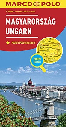
MARCO POLO Länderkarte Ungarn 1:300 000 (MARCO POLO Länderkarten)
from
Collectif
Used - very good
Book - Used - very good
New
€11.99
You save €3.38 (28%)
Book
€8.61
You save €3.38 (28%)
New
€11.99
€8.61
Add to watchlist
More Details
Add to Cart
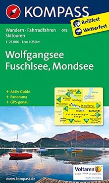
Wolfgangsee - Fuschlsee - Mondsee: Wanderkarte mit Aktiv Guide, Panorama, Radwegen und alpinen Skirouten. GPS-genau. 1:25000 (KOMPASS-Wanderkarten, Band 18)
from
KOMPASS-Karten GmbH
Used - good
Book - Used - good
Book
€12.69
€12.69
Add to watchlist
More Details
Add to Cart
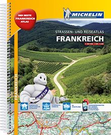
Michelin Straßenatlas Frankreich mit Spiralbindung: DIN A4 (MICHELIN Atlanten)
from
unknown
Used - good
Book - Used - good
New
€19.99
You save €6.00 (30%)
Book
€13.99
You save €6.00 (30%)
New
€19.99
€13.99
Add to watchlist
More Details
Add to Cart
Radwander- und Wanderkarte Fischland, Darß, Zingst und Umgebung: Ausflüge zwischen Saal, Dierhagen, Ahrenshoop, Prerow, Barth, Löbnitz und Altenpleen. 1:35 000 (Schöne Heimat)
from
Verlag Dr. Barthel
Used - very good
Book - Used - very good
Book
€8.87
€8.87
Add to watchlist
More Details
Add to Cart
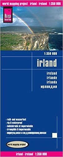
Reise Know-How Landkarte Irland (1:350.000): world mapping project
from
Reise Know-How Verlag Peter Rump, Reise Know-How Verlag
Used - good
Book - Used - good
New
€12.00
You save €5.01 (41%)
Book
€6.99
You save €5.01 (41%)
New
€12.00
€6.99
Add to watchlist
More Details
Add to Cart
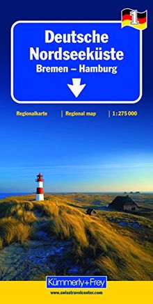
Deutsche Nordseeküste 1 : 275.000 mit touristischen Informationen und Index: Bremen - Hamburg (Kümmerly+Frey Reisekarten)
from
Kümmerly + Frey
Used - good
Book - Used - good
New
€8.95
You save €5.83 (65%)
Book
€3.12
You save €5.83 (65%)
New
€8.95
€3.12
Add to watchlist
More Details
Add to Cart
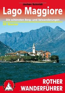
Lago Maggiore. Rother Wanderführer. Die schönsten Tal- und Höhenwanderungen: Die schönsten Berg- und Talwanderungen. 50 Touren: 50 ausgewählte ... ... ... Verbano sowie im Nationalpark Val Grande
from
Jochen Schmidt
Used - very good
Book - Used - very good
New
€14.90
You save €4.21 (28%)
Book
€10.69
You save €4.21 (28%)
New
€14.90
€10.69
Add to watchlist
More Details
Add to Cart
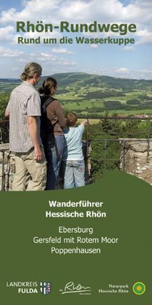
Rhön Rundweg Wanderführer Rund um die Wasserkuppe.: Die 51 Rundwandertouren der Orten Ebersburg, Gersfeld mit Rotem Moor und Poppenhausen sind näher ... Startpunkte, Länge, Fotos + Karte.
from
Dehler Verlag
Used - very good
Book - Used - very good
New
€5.80
You save €1.12 (19%)
Book
€4.68
You save €1.12 (19%)
New
€5.80
€4.68
Add to watchlist
More Details
Add to Cart
Dolomiten-Höhenwege 1 - 3. Die großen Dolomiten-Weitwanderwege 1-3: Alle Etappen
from
Franz Hauleitner
Used - very good
Book - Used - very good
New
€18.90
You save €5.91 (31%)
Book
€12.99
You save €5.91 (31%)
New
€18.90
€12.99
Add to watchlist
More Details
Add to Cart
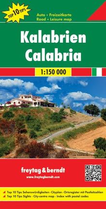
Freytag Berndt Autokarten, Kalabrien, Top 10 Tips - Maßstab 1:150.000
from
Freytag-Berndt und Artaria KG
Used - very good
Book - Used - very good
New
€12.90
You save €1.91 (14%)
Book
€10.99
You save €1.91 (14%)
New
€12.90
€10.99
Add to watchlist
More Details
Add to Cart
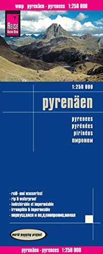
Reise Know-How Landkarte Pyrenäen (1:250.000): world mapping project
from
Reise Know-How Verlag
Used - very good
Book - Used - very good
New
€12.00
You save €2.53 (21%)
Book
€9.47
You save €2.53 (21%)
New
€12.00
€9.47
Add to watchlist
More Details
Add to Cart
Allgäuer Alpen und Lechtal. 50 Skitouren für Einsteiger und Genießer: 50 ausgewählte Skitouren in den Allgäuer Voralpen, rund um das Kleinwalsertal, ... rund um den Vilsalpsee und über dem Lechtal
from
Dieter Seibert
Used - very good
Book - Used - very good
New
€16.90
You save €4.47 (26%)
Book
€12.43
You save €4.47 (26%)
New
€16.90
€12.43
Add to watchlist
More Details
Add to Cart
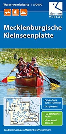
Wasserwanderkarte Mecklenburgische Kleinseenplatte: Maßstab 1:50.000, GPS geeignet, Paddel-Tipps auf der Rückseite
from
Klaus Klemmer
Used - acceptable
Book - Used - acceptable
New
€6.90
You save €1.82 (26%)
Book
€5.08
You save €1.82 (26%)
New
€6.90
€5.08
Add to watchlist
More Details
Add to Cart
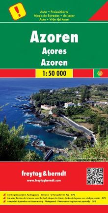
Freytag Berndt Autokarten, Azoren, besondere Ausflugsziele - Maßstab 1:50.000: Achtung! Besondere Ausflugsziele. Cityplan. Ortsregister mit Postleitzahlen. GPS
from
Freytag-Berndt und Artaria KG
Used - acceptable
Book - Used - acceptable
New
€12.90
You save €6.41 (49%)
Book
€6.49
You save €6.41 (49%)
New
€12.90
€6.49
Add to watchlist
More Details
Add to Cart
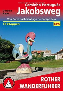
Jakobsweg - Caminho Português: Von Porto nach Santiago de Compostela 15 Etappen. Mit GPS-Daten
from
Cordula Rabe
Used - acceptable
Book - Used - acceptable
New
€16.90
You save €4.91 (29%)
Book
€11.99
You save €4.91 (29%)
New
€16.90
€11.99
Add to watchlist
More Details
Add to Cart
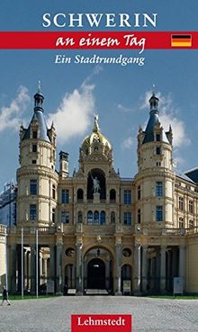
Schwerin an einem Tag: Ein Stadtrundgang
from
Steffi Böttger
Used - good
Book - Used - good
New
€6.00
You save €1.37 (22%)
Book
€4.63
You save €1.37 (22%)
New
€6.00
€4.63
Add to watchlist
More Details
Add to Cart
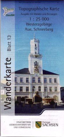
Westerzgebirge/Aue, Schneeberg: Wanderkarte 1:25 000, Ausgabe mit Wander- und Reitwegen (WK25 Blatt 13)
from
unknown
Used - good
Book - Used - good
Book
€2.49
€2.49
Add to watchlist
More Details
Add to Cart
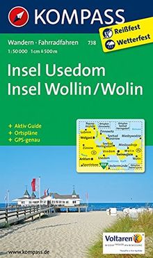
Insel Usedom - Insel Wollin/Wolin: Wanderkarte mit Aktiv Guide und Radwegen. GPS-genau. 1:50000. (KOMPASS-Wanderkarten, Band 738)
from
KOMPASS-Karten GmbH
Used - very good
Book - Used - very good
New
€9.99
You save €4.50 (45%)
Book
€5.49
You save €4.50 (45%)
New
€9.99
€5.49
Add to watchlist
More Details
Add to Cart
Radwander- und Wanderkarte Brandenburger Havelseen und Umgebung: Ausflüge zwischen Fohrde, Roskow, Groß-Kreutz, Wusterwitz, Viesen, Reckahn und Kloster Lehnin. 1:35000
from
unknown
Used - good
Book - Used - good
New
€5.90
You save €1.09 (18%)
Book
€4.81
You save €1.09 (18%)
New
€5.90
€4.81
Add to watchlist
More Details
Add to Cart
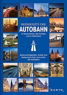
Beiderseits der Autobahn: in Deutschland, der Schweiz und in Österreich (KUNTH Bildband)
from
KUNTH Verlag GmbH & Co. KG
Used - very good
Book - Used - very good
New
€24.95
You save €6.15 (24%)
Book
€18.80
You save €6.15 (24%)
New
€24.95
€18.80
Add to watchlist
More Details
Add to Cart
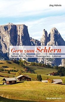
Gern zum Schlern: Seiser Alm · Schlern · Rosengarten · Latemar
from
Jörg Hähnle
Used - very good
Book - Used - very good
New
€22.00
You save €6.51 (29%)
Book
€15.49
You save €6.51 (29%)
New
€22.00
€15.49
Add to watchlist
More Details
Add to Cart
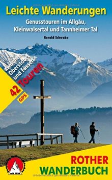
Leichte Wanderungen: Genusstouren im Allgäu, Kleinwalsertal und Tannheimer Tal. 42 Touren. Mit GPS-Tracks
from
Gerald Schwabe
Used - very good
Book - Used - very good
New
€16.90
You save €8.41 (49%)
Book
€8.49
You save €8.41 (49%)
New
€16.90
€8.49
Add to watchlist
More Details
Add to Cart
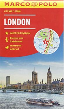
MARCO POLO Cityplan London 1:12 000 (MARCO POLO Citypläne)
from
unknown
Used - very good
Book - Used - very good
New
€7.50
Book
€7.49
New
€7.50
€7.49
Add to watchlist
More Details
Add to Cart
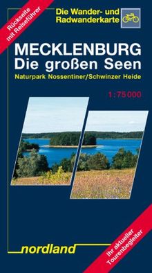
Nordland Karten, Mecklenburg, die großen Seen (Mecklenburgische Seenplatte)
from
Peter Kast
Used - very good
Book - Used - very good
New
€4.00
You save €1.00 (25%)
Book
€3.00
You save €1.00 (25%)
New
€4.00
€3.00
Add to watchlist
More Details
Add to Cart
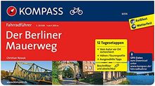
Der Berliner Mauerweg: Fahrradführer mit Routenkarten im optimalen Maßstab. (KOMPASS-Fahrradführer, Band 6014)
from
Christian Nowak
Used - very good
Book - Used - very good
New
€14.99
You save €7.00 (46%)
Book
€7.99
You save €7.00 (46%)
New
€14.99
€7.99
Add to watchlist
More Details
Add to Cart
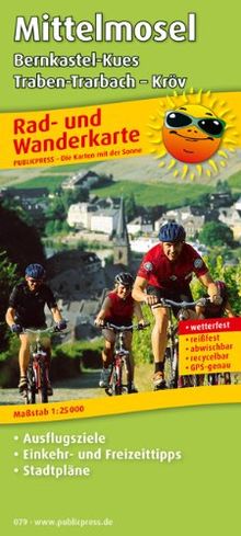
Rad- und Wanderkarte Mittelmosel, Bernkastel-Kues - Traben-Trarbach - Kröv: Mit Ausflugszielen, Einkehr- & Freizeittipps und Stadtplänen, wetterfest, ... wetterfest, reissfest, abwischbar
from
Publicpress
Used - very good
Book - Used - very good
Book
€9.42
€9.42
Add to watchlist
More Details
Add to Cart
Eifel Nord: 24 Wanderungen Eifel Nord
from
Ingrid Retterath
Used - very good
Book - Used - very good
New
€12.90
You save €1.45 (11%)
Book
€11.45
You save €1.45 (11%)
New
€12.90
€11.45
Add to watchlist
More Details
Add to Cart
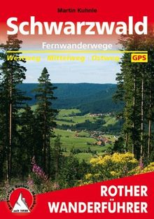
Fernwanderwege Schwarzwald: Westweg. Mittelweg. Ostweg. Mit GPS-Daten: Von Pforzheim an die Schweizer Grenze. Westweg - Mittelweg - Ostweg. Mit GPS-Daten
from
Martin Kuhnle
Used - very good
Book - Used - very good
New
€14.90
You save €4.91 (32%)
Book
€9.99
You save €4.91 (32%)
New
€14.90
€9.99
Add to watchlist
More Details
Add to Cart
Radwanderkarte Donau-Radweg 2 Passau-Wien: Mit Ausflugszielen, Einkehr- und Freizeittipps, reissfest, wetterfest, abwischbar. 1:50000: Radwanderkarte ... beschriftbar und wieder abwischbar
from
Publicpress
Used - very good
Book - Used - very good
New
€12.99
You save €9.00 (69%)
Book
€3.99
You save €9.00 (69%)
New
€12.99
€3.99
Add to watchlist
More Details
Add to Cart
1
2
3
4
5
6
7
8
9
10
100
Next