All categories
    cartcart

    A Descriptive List of the Printed Maps of Yorkshire and its Ridings, 1577-1900 (Cambridge Library Collection - British and Irish History, General)

     
    A Descriptive List of the Printed Maps of Yorkshire and its Ridings, 1577-1900 (Cambridge Library Collection - British and Irish History, General)

    Description

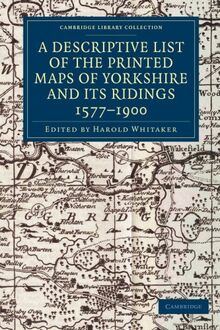
    First published for the Yorkshire Archaeological Society in 1933 and reprinted in 1971, this is an extensive and well-illustrated catalogue of maps of the Yorkshire region, drawn between 1577 and 1900, with informative descriptions. It remains of value to local historians and geographers.

    Product details

    EAN/ISBN:
    9781108058827
    Medium:
    Paperback
    Number of pages:
    318
    Publication date:
    2013-02-14
    Publisher:
    Cambridge University Press
    Manufacturer:
    Unknown
    EAN/ISBN:
    9781108058827
    Medium:
    Paperback
    Number of pages:
    318
    Publication date:
    2013-02-14
    Publisher:
    Cambridge University Press
    Manufacturer:
    Unknown

    Shipping

    laposte
    The edition supplied may vary.
    Currently sold out

    More from Harold Whitaker