All categories
caret-down
cartcart

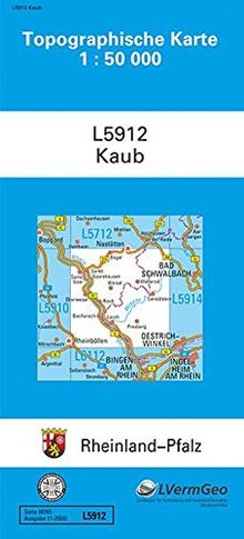
TK50 L5912 Kaub: Topographische Karte 1:50000 (Topographische Karten 1:50000 (TK 50) Rheinland-Pfalz (amtlich))

 
Only 1 items left in stock
TK50 L5912 Kaub: Topographische Karte 1:50000 (Topographische Karten 1:50000 (TK 50) Rheinland-Pfalz (amtlich))

Description

Die Topographische Karte 1:50 000 (TK50) bietet eine umfassende Informationsdichte sowohl für private Nutzung als auch regionale Planung und Verwaltung.
Ein Blatt der TK50 bildet eine Fläche von ca. 530 km² ab, 2 cm der Karte entsprechen 1 km in der Natur, das Bezugssystem ist ETRS89 (entspricht WGS84).
Die Legende ist dreisprachig.

Sie kann sowohl gefaltet als auch ungefaltet bezogen werden.

Product details

EAN/ISBN:
9783896371720
Edition:
3., 2014
Medium:
Other bindings
Publication date:
2015-10-01
Publisher:
Landesamt für Vermessung und Geobasisinformation Rheinland-Pfalz
Languages:
german
EAN/ISBN:
9783896371720
Edition:
3., 2014
Medium:
Other bindings
Publication date:
2015-10-01
Publisher:
Landesamt für Vermessung und Geobasisinformation Rheinland-Pfalz
Languages:
german

Shipping

laposte
The edition supplied may vary.
Condition
Condition
Learn more
€3.49
available immediately
New €5.00 You save €1.51 (30%)
€3.49
incl. VAT, plus  Shipping costs
paypalvisamastercardamexcartebleue
  • Icon badgeChecked second-hand items
  • Icon packageFree shipping from €19
  • Icon vanWith you in 2-4 working days