Sell books & media
Buy books & more
Watchlist
Sign in
All categories
All
x
Category
show all
Books
Travel & Adventure
Atlases, maps & plans
By country & region
Europe
Alps
Alps
(1)
From
show all
unknown
(135)
Heinrich Bauregger
(25)
Freytag-Berndt und Artaria KG
(23)
Siegfried Garnweidner
(20)
Hüsler, Eugen E.
(19)
Mark Zahel
(15)
KOMPASS-Karten GmbH
(14)
Deutscher Alpenverein
(13)
Oesterreichischer Alpenverein
(10)
Österreichischer Alpenverein
(10)
Collectif
(10)
Deutscher Alpenverein e.V.
(9)
Rudolf Geser
(9)
Herbert Mayr
(9)
Michael Pröttel
(9)
Simon Auer
(8)
bayern-fur-geoinformation-landes
(8)
breitband-digitalisierung-fur-la
(8)
Richard Goedeke
(8)
Dieter Seibert
(6)
Condition
Very good
(6)
Good
(3)
Price
€2 - €5
(1)
€5 - €10
(5)
€10 - €20
(1)
Medium
show all
Other bindings
(8)
Audio cassette
(0)
This filter selection is automatically applied to the "Books" category
Language
German
(7)
Home
Books
Travel & Adventure
Atlases, maps & plans
By country & region
Europe
Alps
Alps
filter (3)
bayern-fur-geoinformation-landes
Audio cassette
Alps
Only available items
Popularity
Price: ascending
Price: descending
Oldest articles
Latest articles
Popularity
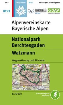
Nationalpark Berchtesgaden, Watzmann: Wegmarkierungen - Topographische Karte 1:25000
from
Landesamt für Vermessung und Geoinformation Bayern
Used - very good
Book - Used - very good
New
€9.80
You save €0.81 (8%)
Book
€8.99
You save €0.81 (8%)
New
€9.80
€8.99
Add to watchlist
More Details
Add to Cart
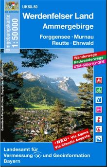
Werdenfelser Land / Ammergebirge 1 : 50 000: Forggensee, Murnau, Reutte, Ehrwald. Wanderwege, Radwanderwege, UTM-Gitter für GPS (UK 50 - 50)
from
Landesamt für Vermessung und Geoinformation Bayern
Used - good
Book - Used - good
New
€6.60
You save €0.61 (9%)
Book
€5.99
You save €0.61 (9%)
New
€6.60
€5.99
Add to watchlist
More Details
Add to Cart
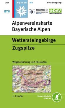
Wettersteingebirge, Zugspitze: Topographische Karte1:25.000 mit Wegmarkierungen und Skirouten
from
Landesamt für Vermessung und Geoinformation Bayern
Used - very good
Book - Used - very good
Book
€10.49
€10.49
Add to watchlist
More Details
Add to Cart
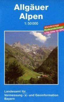
Topographische Sonderkarten Bayern: Allgäuer Alpen
from
Landesamt für Vermessung und Geoinformation Bayern
Used - very good
Book - Used - very good
Book
€3.99
€3.99
Add to watchlist
More Details
Add to Cart
Mangfallgebirge Süd - Guffert, Unnütz, Juifen: Wegmarkierungen und Skirouten - Topographische Karte 1:25000 (Alpenvereinskarten)
from
Landesamt für Vermessung und Geoinformation Bayern
Used - good
Book - Used - good
New
€9.80
You save €5.81 (59%)
Book
€3.99
You save €5.81 (59%)
New
€9.80
€3.99
Add to watchlist
More Details
Add to Cart
Allgäuer Hochalpen, Hochvogel, Krottenkopf: Wegmarkierungen und Skirouten - Topographische Karte 1:25.000 (Alpenvereinskarten)
from
Landesamt für Vermessung und Geoinformation Bayern
Used - very good
Book - Used - very good
Book
€8.23
€8.23
Add to watchlist
More Details
Add to Cart
Karwendelgebirge Nord, Schafreiter: Topographische Karte 1:25.000 mit Wegmarkierungen und Skirouten (Alpenvereinskarten)
from
Landesamt für Vermessung und Geoinformation Bayern
Used - very good
Book - Used - very good
New
€9.80
You save €1.81 (18%)
Book
€7.99
You save €1.81 (18%)
New
€9.80
€7.99
Add to watchlist
More Details
Add to Cart
Topographische Sonderkarten Bayern. Sonderblattschnitte auf der Grundlage der amtlichen topographischen Karten, meist grössere Kartenformate mit ... mit ... Gitter für GPS-Nutzer: UK L 4
from
Landesamt für Vermessung und Geoinformation Bayern
Used - very good
Book - Used - very good
Book
€6.99
€6.99
Add to watchlist
More Details
Add to Cart